Satellite imagery archive within GIS in the Cloud

Copernicus data from a series of Sentinel satellites are revolutionizing earth observation. Free, full and open access to data with very short revisit times, high spatial resolution, and good spectral resolution are crucial for many applications.
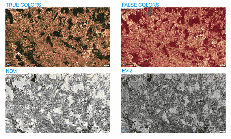
We have established an infrastructure for archiving, processing and distributing such satellite imagery. Our approach combines cloud GIS technologies, parallel processing and fully automated procedures. To support fast development of the EO field, we give tools directly to the end users. On-the-fly processing and visualisation makes it possible to build new products (e.g.vegetation indices and similar) in a matter of minutes.
Main features of the system:
- automated archiving process
- rolling archive of multi-spectral data
- full resolution preview over Web
- time-lapse of changes
- time-series statistical analysis at specified area (point, polygon)
- script-based on-the-fly definition of new products
- re-projected WMS services for integration in 3rd party tools
- APIs for integration of advanced features
Comparison of changes through time with the most common indices: