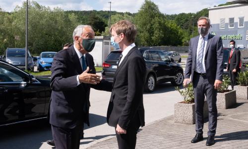
At the invitation of the President of the Republic of Slovenia, Borut Pahor, the President of Portugal, Marcelo Rebelo de Sousa, paid an official visit to the Republic of Slovenia on 31st May and 1st June 2021. The visit took place in view of the second consecutive Presidency of both countries in the Council of the EU. We were honored to welcome both presidents to our headquarters on 31st May to discuss the opportunities that Copernicus data are bringing to the society.
News
28 May 21
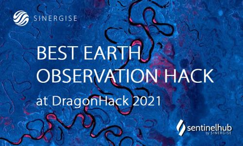
On the weekend of May 22-23, we were back as supporters at Slovenia's oldest and largest student hackathon - DragonHack. With our challenge “Best Earth Observation Hack”, participants had the opportunity to freely use Sentinel Hub services for their hack. The event, which was held for the seventh year in a row, was attended by 41 teams (more than 150 participants) and 16 partners.
17 May 21
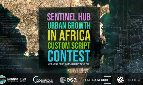
Together with our partners, the Euro Data Cube (EDC), the Copernicus EU Earth Observation programme and the European Space Agency we are constantly looking for new and innovative ideas and scripts. We have organised a series of the Sentinel Hub Custom Script Contests starting with the first one in spring 2019, followed by three more.
29 Mar 21

We are happy to present our Sentinel Hub Webinars channel, hoping it becomes a more regular source of useful information for the remote sensing and Earth observation community. Watch our webinars to learn more about different topics related to Sentinel Hub, and register for the coming events to stay updated.
24 Mar 21

Welcome to the world of Euro Data Cube, a comprehensive and unique source of Earth Observation data, in-situ data and derived value-added information at your fingertips. We are pleased to present the latest introduction video that reveals more about this exclusive platform. Visit also a dedicated Euro Data Cube publication, where you can find blog posts on various related topics.
01 Dec 20
We are pleased to announce that the Global Earth Monitor project (GEM) has officially started with a kick-off meeting on 25-26 November 2020. In a lively online discussion with all consortium partners - Sinergise, TomTom, EU Satellite Centre, Technical University of Munich, and Meteoblue AG - we paved the road for the future steps to be done within the project.
23 Nov 20
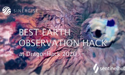
During the weekend on November 7-8 we had a pleasure to participate at the Slovenia’s longest running and largest student hackathon - DragonHack. As supporters we had a chance to organize our own “Best Earth Observation Hack” challenge and offer the participants a possibility to freely use Sentinel Hub services for their hack. We were genuinely amazed by the results of participating teams, created in just 24 hours.
06 Nov 20

We would like to extend our invitation to participate in the third round of the Sentinel Hub Custom Script Contest. The deadline for submissions has been prolonged until 30th November 2020, giving you enough time to turn your ideas into scripts.
12 Oct 20
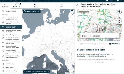
In April, the European Space Agency (ESA), in coordination with the European Commission, launched a special edition of the Custom Script Contest, focused on the support of space assets during the COVID-19 crisis, managed by Euro Data Cube group.
16 Sep 20
Join us at this year's virtual event European Space Agency - ESA EO Φ-week which will be held from September 28th to October 2nd. With our partners we will present the Euro Data Cube’s (EDC) service capabilities for geospatial and Earth observation data analysis within two separate side events. If you are a registered participant at the ESA EO Φ-week 2020, make sure to join the sessions to get an insight into the many opportunities the EDC data factory offers.