Upcoming CDSE Webinar: Satellite Imagery for Climate News
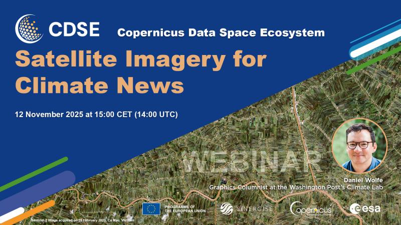
Join us for our next Copernicus Data Space Ecosystem (CDSE) webinar, "Satellite Imagery for Climate News," on November 12, 2025. This session is especially recommended for journalists, researchers, and anyone interested in how Earth Observation data shapes our understanding of climate change.
We are excited to welcome Daniel Wolfe, a Graphics Columnist from The Washington Post’s Climate Lab. Daniel will demonstrate how he uses data analysis and visualizations to transform complex satellite imagery into compelling, accessible news stories.
🗓 Date: November 12, 2025
⏰ Time: 15:00 CET (14:00 UTC)
What You Will Learn:
- Evidence and Perspective: Discover how satellite imagery provides irrefutable evidence and a crucial quantitative perspective on climate-related events across multiple geographical scales.
- Data Sourcing: Learn exactly where and how to access reliable, high-quality satellite data relevant to breaking climate and environmental stories.
- Sentinel Data in Action: See practical examples of using Sentinel-2 images for news stories, ranging from stunning true-color visualizations to advanced data analysis products.
- Beyond Optical: Understand how data from Sentinel-1 (radar) and Sentinel-5P (atmospheric monitoring) can be leveraged to produce vital insights into current environmental trends and events.
- Real-World Cases: Explore a selection of impactful news stories and case studies that were created using Sentinel imagery.
A Q&A session will follow the presentation, giving you the chance to ask Daniel your specific questions about climate journalism and Earth Observation data.
Register now to secure your spot and bridge the gap between satellite data and public awareness of climate change!
We look forward to welcoming you to this session.
---
Visit the Copernicus Data Space Ecosystem YouTube channel to watch the recordings of all CDSE webinars.