Azerbaijan Land Cover Monitoring System
05 Feb 19

Sinergise has been awarded development, installation and operation of Land Cover Monitoring System by the State Committee on Property Issues (SCPI) of the Republic of Azerbaijan.
The goal of the project is to develop a system for manual and automatic detection of changes of land using satellite imagery. To reach the goal, Sinergise will use its extensive experience in building LPIS solution across the Europe and its existing research based on eo-learn to deliver the tools to be used by both internal users and public.
The System will provide:
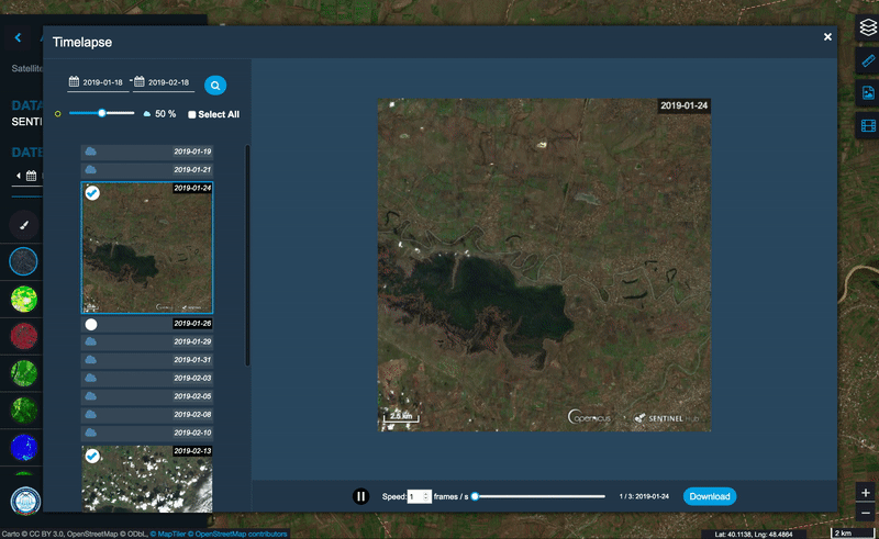
- Access to entire archive of Sentinel-2 L2A and Landsat 8 imagery, which can be used for manual checks.
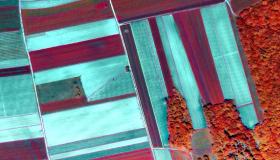
- Yearly and quarterly land use and land cover (LULC) classification maps for entire country, which were produced with machine learning.
- An automatic detection of changes in land cover calculated from LULC maps.
- Crop type classification maps, also produced with machine learning.