Giselle

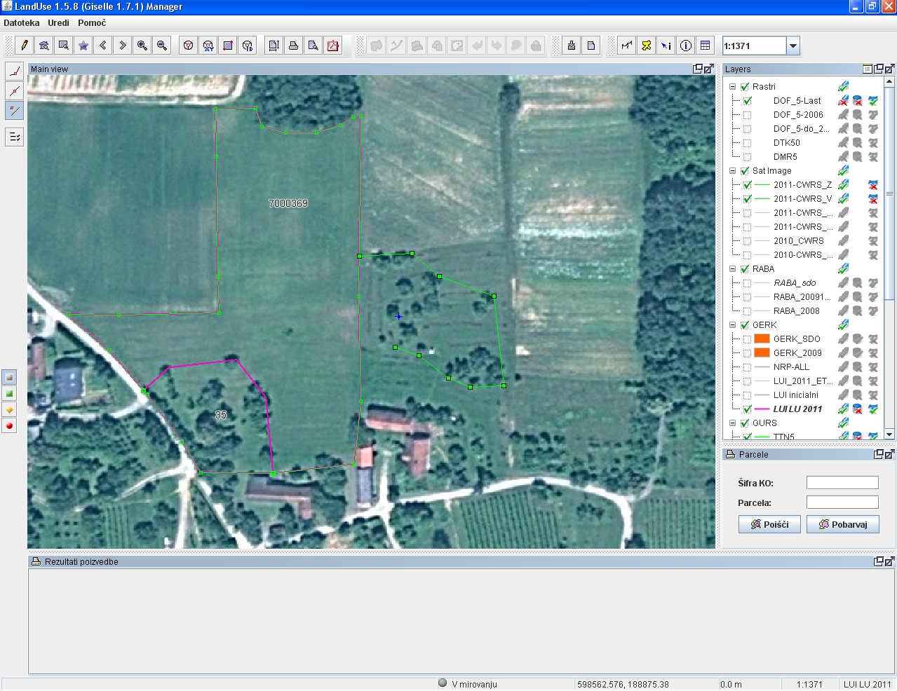
Giselle is a framework that enables users to manage polygons of the underlying map as well as add other graphical elements such as text, points and lines with an applet from within a browser.
Giselle is a pure web-based topology editor that offers GIS functionalities for distributed systems with hundreds of users - it often occurs that a large amountof spatial data has to be produced in a relatively short time, demanding simultaneous digitizing of geographic objects by a large number of users. With Giselle you can easily solve that kind of problem!
The system is user-friendly for digitizing and managing the data, easily available, reliable, safe, and has a low total cost of ownership.
Giselle tool can be used for:
- Presentation of spatial data
- Spatial data analyses
- Topology editor
Key features:
- HTML-based editor (PublicEditor) for the widest usage (public editor, Consumer-to-Government, etc.),
- JAVA-based editor (DistriDigitizer) – data capture with real-time remote control of the editing process,
- ImageMaster – our own optimized image server,
- Application server,
- Communication module,
- Management console,
- Administration,
- Load balancing,
- Mirror user actions (for support purposes),
- Deployment tools (installer, packager ...).
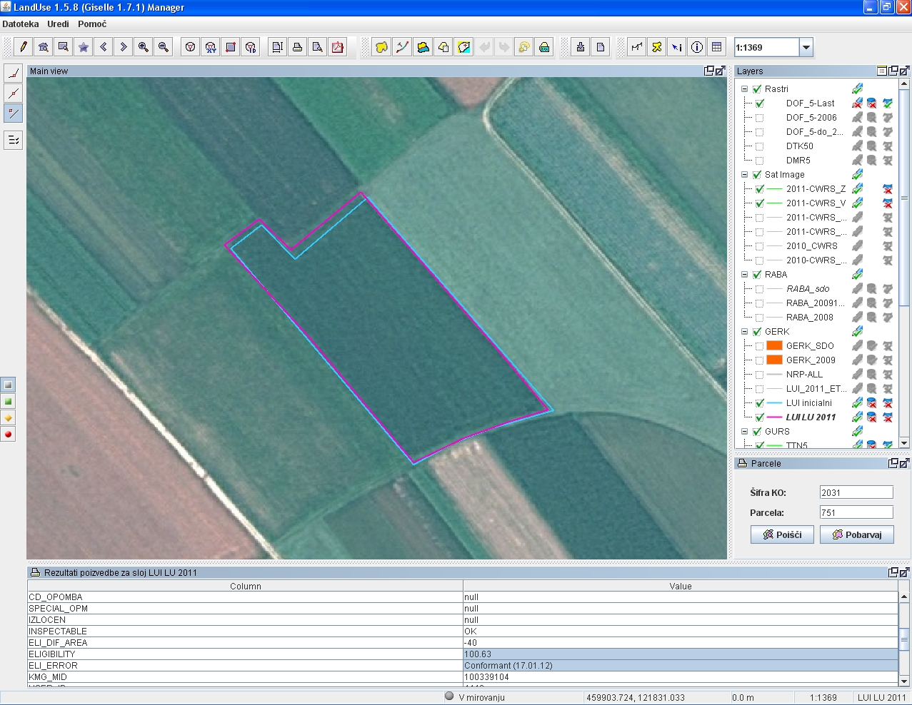
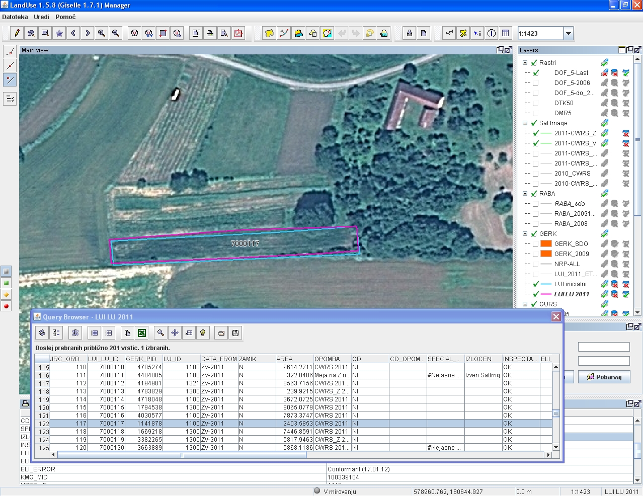
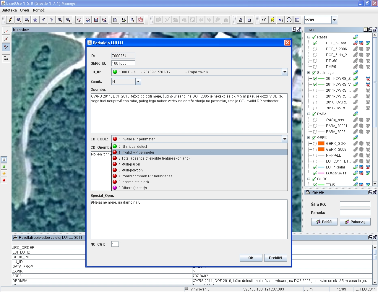
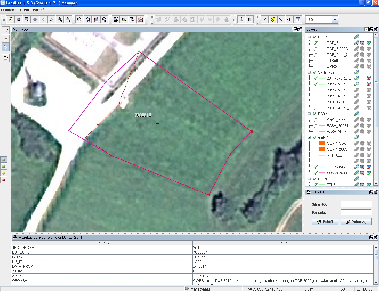
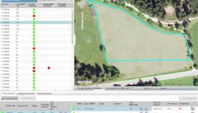
Gallery