We are delighted to launch a new service providing easy access to very high-resolution data, starting with Planet and Airbus and expanding to others soon. The staged roll-out started at the beginning of April and things are running smoothly - we have ingested more than 20 000 km2 already.
News
31 Jan 20
Sentinel Hub VAS GmbH, a subsidiary of Sinergise, is opening a permanent office in Graz / ESA BIC Austria, close to several other space start-ups, starting with a team of 3-5 young enthusiasts in remote sensing, in order to widen the reach of the Copernicus Masters award winning satellite imagery processing service, Sentinel Hub.
28 Jan 20
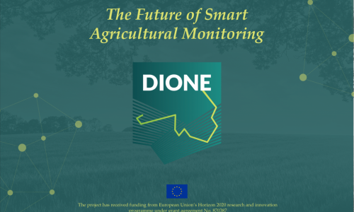
The EU-funded DIONE project has officially started with the kick-off meeting in Athens, Greece on January 27-28. DIONE will offer a unique fusion of innovative technologies that will improve the workflow of agricultural monitoring. It aims to develop a direct payment controlling toolbox for paying agencies to follow the modernized Common Agricultural Policy (CAP) regulations.
27 Jan 20
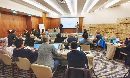
The Sentinels for Common Agricultural Policy - Sen4CAP hands-on training held on January 22-23 and hosted by the Université catholique de Louvain in Louvain-la-Neuve, near Brussels in Belgium, is announcing the project’s final stage. It was a pleasure to participate in successful training where the participants learned how to install and use the open-source Sen4CAP system in the cloud.
22 Jan 20
Geospatial data is the cornerstone of any application, service, and product even remotely related to our physical surroundings. Despite its significance for our Data Economy there is a gap between policy intentions and subsequent industrial uptake. This status quo demands an EU-wide intervention targeted on delivering a Digital Single Market for industrial geospatial data. It will be delivered within the OpertusMundi project.
28 Nov 19

Last year we have introduced eo-learn which aims at providing a set of tools to make prototyping of complex EO workflows as easy, fast, and accessible as possible. After our introduction of eo-learn, the trilogy of blog posts on Land Cover Classification with eo-learn has followed. In this article we are highlighting all.
15 Oct 19

After the successful Sentinel Hub Custom Script Contest organized in Spring, we have launched the second round on October 15th 2019.
Write a custom script for the Sentinel Hub EO Browser and win attractive prizes. We strongly encourage the participation of students, who will compete for a special prize.
27 Sep 19

The DisplayWall is a web application build on top of Sentinel Hub services for showing satellite images of locations that you save as pins in EO Browser. It is perfect for, but not limited to, touch displays mounted on walls.
04 Sep 19

Join us at the one of the biggest European EO events of its kind — the European Space Agency (ESA) EO Phi-Week, which will take place at ESRIN, Frascati, Italy on September 9–13, 2019. The event will offer a review of the latest developments in Open Science trends with a focus on EO Open Science and FutureEO. We are pleased to extend ESA’s invitation and recommend you to join our activities.
29 Jul 19
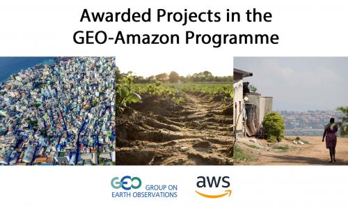
We have already announced our support of Group on Earth Observations (GEO) — Amazon Web Services (AWS) Earth Observation Cloud Credits Programme and introduced details of GEO and AWS partnership. The Programme committed to award projects improving understanding of our planet with $1.5 million USD worth of cloud services, grants and technical support. The resources will help 21 projects from 17 developing countries to realize the potential of Earth Observation (EO) for sustainable development. We are looking forward to seeing EO applications developed within these projects, particularly those using Sentinel Hub services.