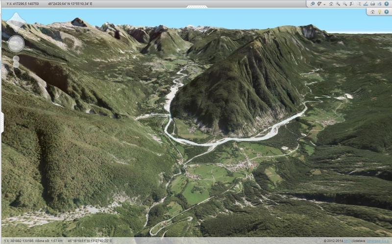
Sinergise 3D viewer

One of the latest developments at Sinergise has been the introduction of a web-browser-based 3D viewer of Slovenia.
The Sinergise 3D viewer combines aerial photography with a digital elevation model to produce a user-friendly, interactive 3D viewing experience of your areas of interest. No longer confined to aerial maps, the structure of the underlying terrain can finally be visualized remotely; the Earth is not flat after all. Because the technology is based on WebGL , simplicity and browser integration is assured—no installation is necessary. The 3D view can optionally be augmented with various data layers, including but not limited to cadastral information such as regions, streets and names which are projected onto the 3D terrain.
The 3D viewer is expected to be implemented into various other Sinergise projects in the near future.
To see for yourself, a viewer demo is available here (to enable 3D click the globe icon in the toolbar):
Tip: The left and right mouse buttons aid navigation. You can also view more detailed help from the toolbar.
You can view video and some sample images below:

