New application for managing land-use
25 Feb 14

Based on the real-estate tax Surveying and Mapping Authority of the Republic of Slovenia manages information about land coverage for lands under public infrastructure. Data is managed by authorities, competent for individual infrastructure.
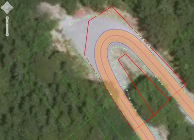
These authorities will provide data through special web application. All the data is managed through graphical layers under infrastructural buildings. These layers are fundamental for assigning land cover procentage under infrastructure buildings. In the applications there are 4 different graphical layers:
- Highways
- National roads
- Municipality roads
- Railroads
With this application users can draw new polygons based on ortho-photo images. It also enables of enabling different graphical layers and snap existing or new layers to it's boundaries.

