


The Power of GIS
A geographic information system (GIS) is a computer system for capturing, storing, checking, and displaying data related to positions on Earth’s surface. GIS benefits organizations of all sizes and in almost every industry. There is a growing interest in and awareness of the economic and strategic value of GIS.
“Geospatial information is changing the way we approach the world around us.”
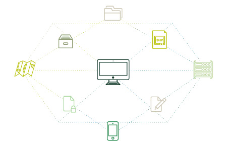
Technology overview
Sinergise offers solutions which are easy to use, platform-independent and utilize graphical user interfaces and relational databases. Their fully web enabled modular design and flexibility facilitate enhancements and integration with new or existing third party systems.
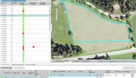
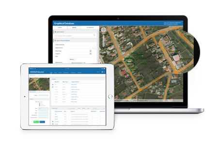
Efficient Data Management
Our solutions are based on GiselleTM – our state of the art framework for efficient spatial data management and editing on desktop or thin client applications. It also provides a facility for rapid in-field data capture using mobile devices.
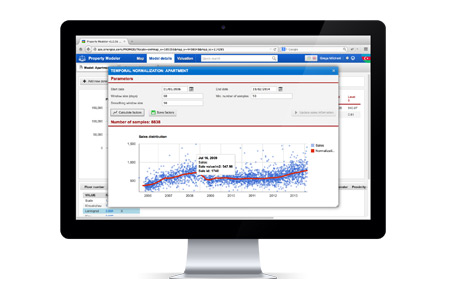
Better Decision Making
The system captures data at the point of creation ensuring that the property and collection data is consistent and conductive to better decision making within the organization. The system allows the viewing of property tax data (based on appropriate roles) to citizens, revenue inspectors and decision makers - leading to transparency and efficiency in collections.
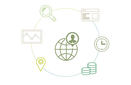
Time & Cost Savings
Our GIS solutions reduce costs, and improve the quality of information needed to make decisions. Having the right information when you need it saves time and staff resources.