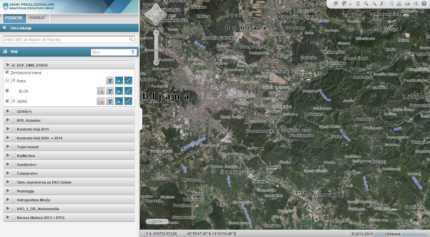
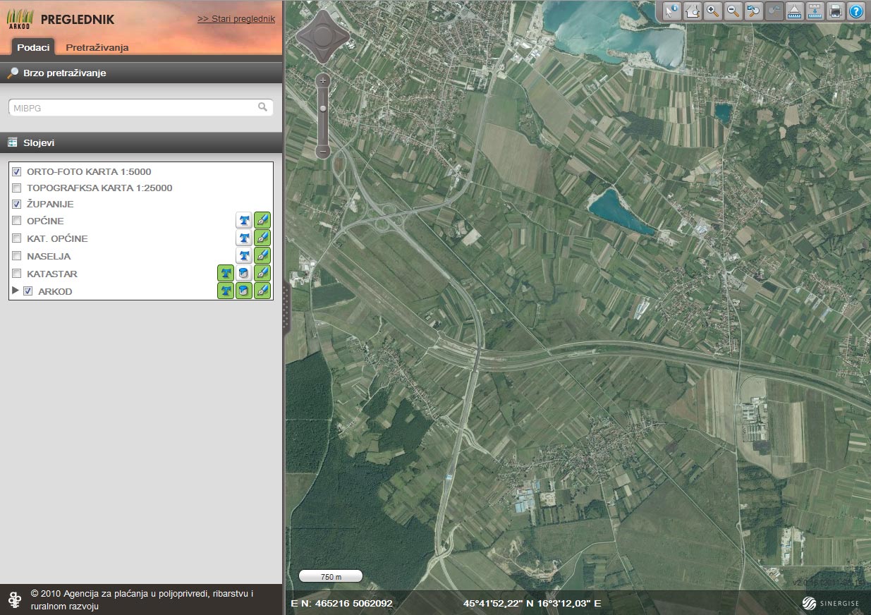
LPIS

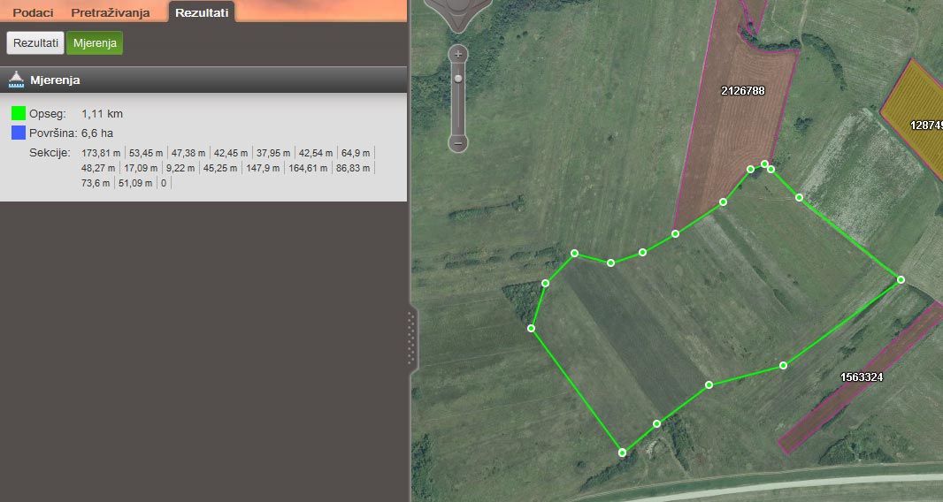
Sinergise has developed an innovative and powerful set of Java-based tools that cover all aspects of Land Parcel Identification System (LPIS). They can be deployed in client-server architecture, in an Internet-based system or even on a CD. We have combined these tools into an Internet-based system for editing the graphical and descriptive information on usage of agricultural land.
The application is being used on a daily basis by hundreds of users in Slovenia, Croatia and Macedonia for EU farming subsidy applications monitored under IACS regulation.
Main characteristics:
- data integrity
- great performance of central system
- ease of use
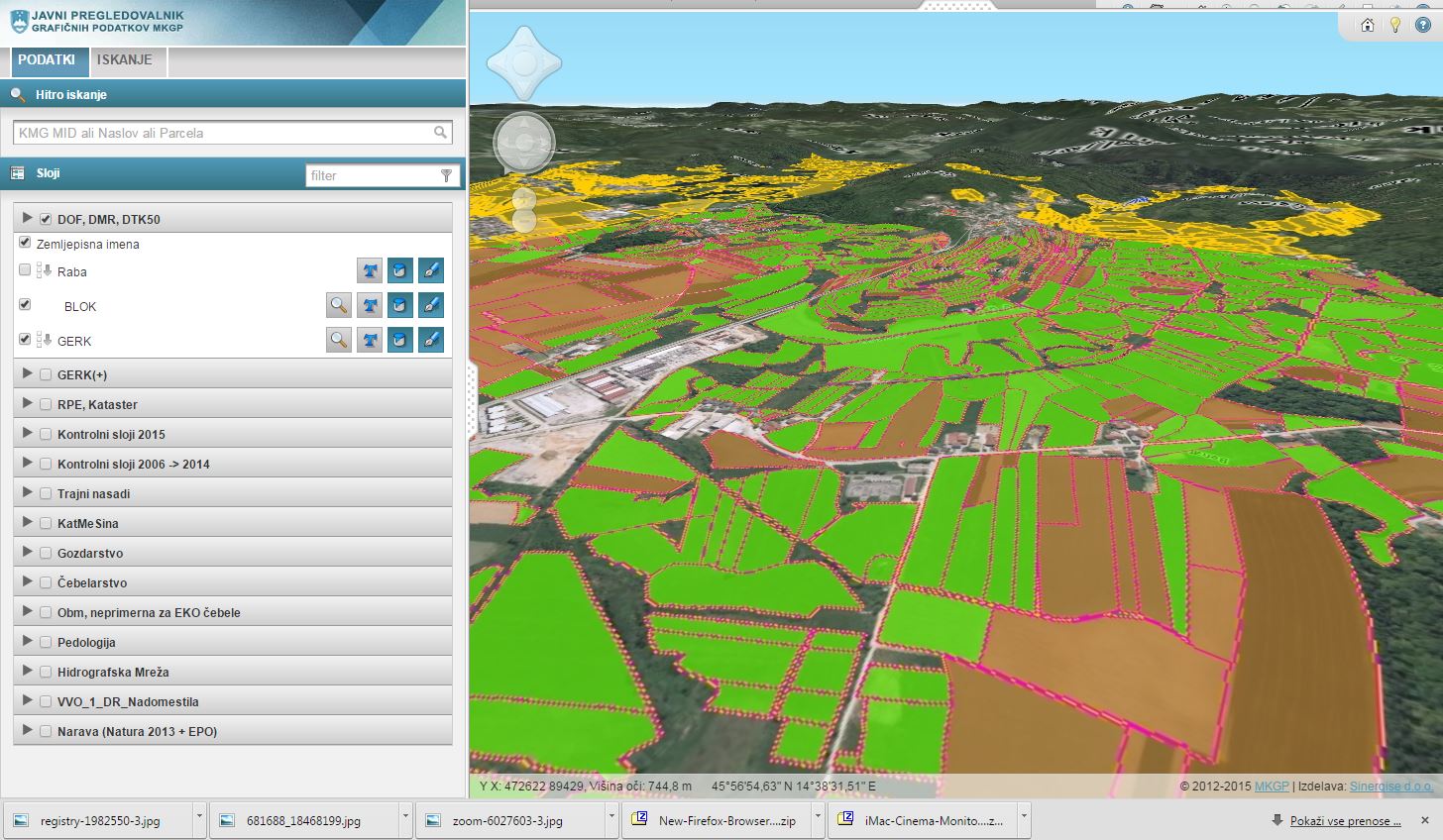
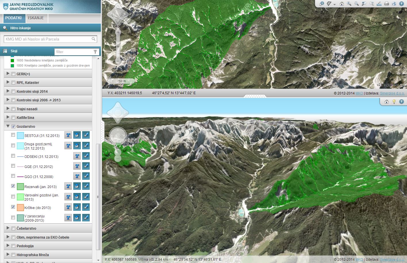
- layer customizations
- geometry editing (points, lines and polygons)
- querying attributes and graphical data
- recording of historical data
- automatic attributon of classifications
- unique identification of land parcel
- statistical analysis and thematic mapping
- import and export of data
- secure internet access to claimants
- identification of doubly-declared areas
- additional features (3D view)
- Print Template editor for managing printing sheets
- validation of data on many points and also cross-checking with other spatial layers
- quality assurance - Executive Test Suite (find out more here)
- server administration tools for tracking end-users
- migration tools
- Config Manager for easy managing of configuration
Find out more about this in the video below.
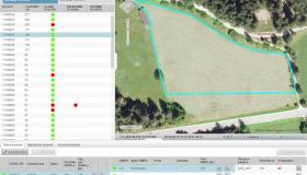
Gallery